Maps
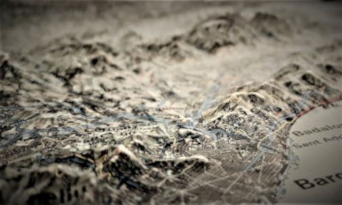
The UAB's map collection is primarily housed in the Map Library. This collection includes approximately 40,000 sheets of various types of maps, including topographic, planimetric, vegetation, geological, planning, orthophoto maps, and satellite images.
The geographical coverage is extensive for Catalonia, gradually diminishing for the rest of Spain, Western Europe, and the rest of the world. Most of the available material is from contemporary editions, with the exception of Martí Gelabertó's Collection of Antique Maps. This set of 17th- and 18th-century maps, donated by the historian, is housed in the Reserve Section of the Library Service (Communication Library and General Newspaper Archives).
The map collection is further complemented by a significant collection of atlases and vertical aerial photographs, all of which are also available in the Map Library.
Additional information
