Presentation of the first semester project of the 8th edition of the Master¿s in Geoinformation.
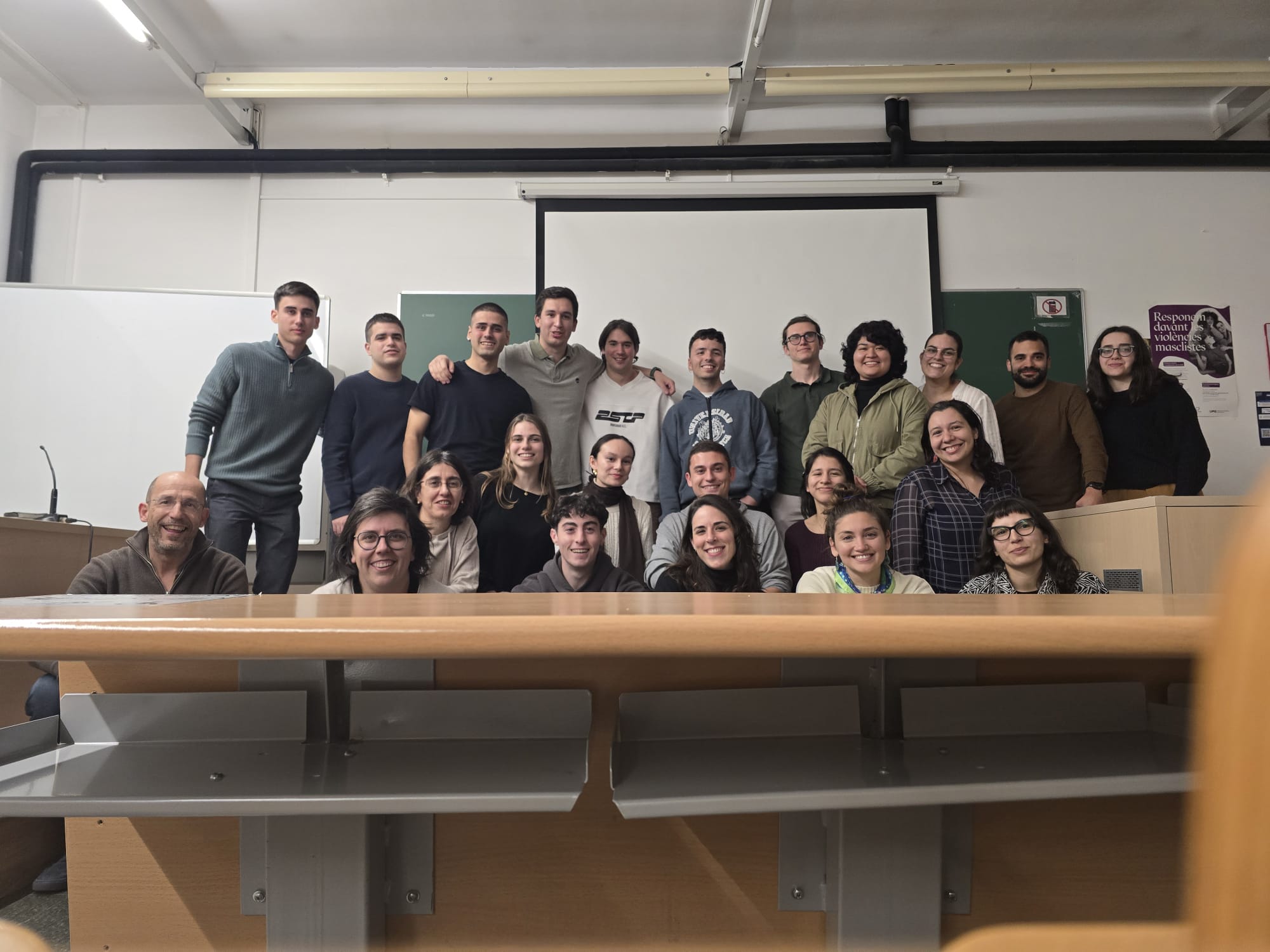
On Friday, February 7th, the first-semester projects of the 8th edition of the Master’s in Geoinformation were presented.
This project aims to define, implement, and operate a municipal Geographic Information System for environmental management, accessibility, the Population Register, and urban planning in a medium-to-large-sized City Council. The development of this group project consists of five parts, corresponding to the five modules of the first semester of the Master’s in Geoinformation: (1) Geospatial Systems, (2) Navigation and Earth Observation, (3) Geoprocessing, (4) Geospatial Data, and (5) Geoservices.
By completing this project, students have put into practice all the knowledge acquired during this first part of the master’s program.
The Department of Geography congratulates the master’s students on their hard work and encourages them to face the second semester with the same enthusiasm and commitment.
Link to the presentation event photos.